Councils can use Unique Property Reference Numbers in shaping greener, healthier environments for their local communities, writes Elaine Nicholls, spatial data analyst, GeoPlace

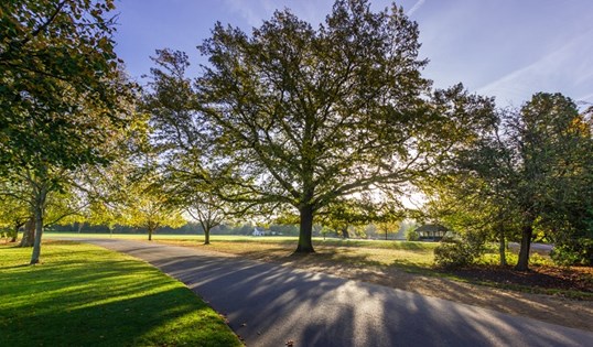
One consequence of the Covid-19 pandemic has been the reminder of how important green spaces are to the quality of our lives, with millions of people finding relief from lockdown in their gardens or public parks, commons and woodlands.
It has reinforced earlier messages about their importance to public health, and highlighted the role of government in planning and managing green spaces as part of wider development and environmental policies.
Central and local authorities need a nuanced understanding of how the green spaces under their remits relate to other factors, and the key to this is in the locational data from Unique Property Reference Numbers (UPRNs). These are created by local authorities and managed nationally by GeoPlace and are more accurate than postcodes in providing data at an individual property level.
The imperative for public health has been formalised under the Accessible Natural Greenspace Standard (ANGSt), which recommends that everyone should have access to two hectares of green space no more than a five-minute walk from home. It adds that there should also be at least one accessible site of 20 hectares within two kilometres, one of 100 hectares within five kilometres and one of 500 hectares within 10 kilometres.
Earlier this year Public Health England published its Improving access to green space review, which points to a number of associated health benefits: lower levels of obesity; better mental health; better maternal and birth outcomes; improved blood pressure and heart rate; and reduced incidences of type 2 diabetes. Healthcare research charity The King’s Fund has also highlighted the benefits in its report on Access to green and open spaces and the role of leisure services.
Evidence of deprivation
But there is evidence that many people are deprived of easy access to green spaces. In May, the annual Green Space Index from the charity Fields in Trust showed that 2.7 million people in Great Britain do not have access to such a space within a 10-minute walk from home, and forecast it could rise by another 170,000 over the next five years.
GeoPlace has also investigated in bringing together relevant data for five UK cities: London, Birmingham, Manchester, Cardiff and Edinburgh. It analysed UPRNs against the ANGSt criteria to create maps highlighting where there is good and bad availability of green space. Alongside these it published figures showing that in each city there are significant numbers of UPRNs that do not meet the criteria.
It would not have been possible to paint such an accurate picture using postcodes as they can cover larger area and include many people within or outside of the ANGSt guidelines.
Government has acknowledged the problem of access, with the Public Health England document containing a number of recommendations for local authorities aimed at improving the situation. These include policies such as treating green spaces as critical assets for public health, ensuring that local strategies are informed by evidence on access to them, and prioritising the improvement of access and creation of greener communities.
It urges councils to look at evaluating the benefits of green spaces, identify and factor in funding arrangements for their maintenance, and establish interventions such as green social prescribing to encourage people to use the spaces.
Along with this is a call for local research on the issue, finding evidence informed case studies and building a robust evaluation of interventions.
The King’s Fund has also called for action, urging councils to work with local communities on strategic plans for green space, to work with the private and third sectors on new funding models, and to invest in extra staffing to keep parts well maintained.
Community context
To make the most of such efforts, local authorities will have to understand their areas in great detail, placing green space into context for the people who need to use it. Locational data feeds into several factors of this context, making it possible to make connections around issues such as public health trends, paths and footways, public transport, the availability of leisure facilities and the factors outlined in the ANGSt standard.
This is where they could make great use of UPRNs as a feature for matching data, running analysis and obtaining insights into the role of green space in their own communities. They can build up pictures of its accessibility, who will benefit and any potential barriers to public use, which in turn can feed into the working with local groups and planning for improvements.
GeoPlace can provide support to local authorities in how they do this, with the ability to produce compelling data visualisations and support analysis of the availability and future possibilities of green space. These are great assets in building a dialogue and developing plans with communities, and it can all contribute to shaping greener, healthier environments for the future.
Councils can make this one of the legacies of the pandemic – a better use of locational data to increase the benefits of green space.
To read more about the work and see visualisations on accessibility to green space for Birmingham, Cardiff, Edinburgh, London, Manchester, see our blog https://blog.geo.place/2020/09/01/where-is-all-the-greenspace/
Image from iStock, Kayode Fashola


